Log in
All resources
Create a design
11,660 Free Images of Old Map
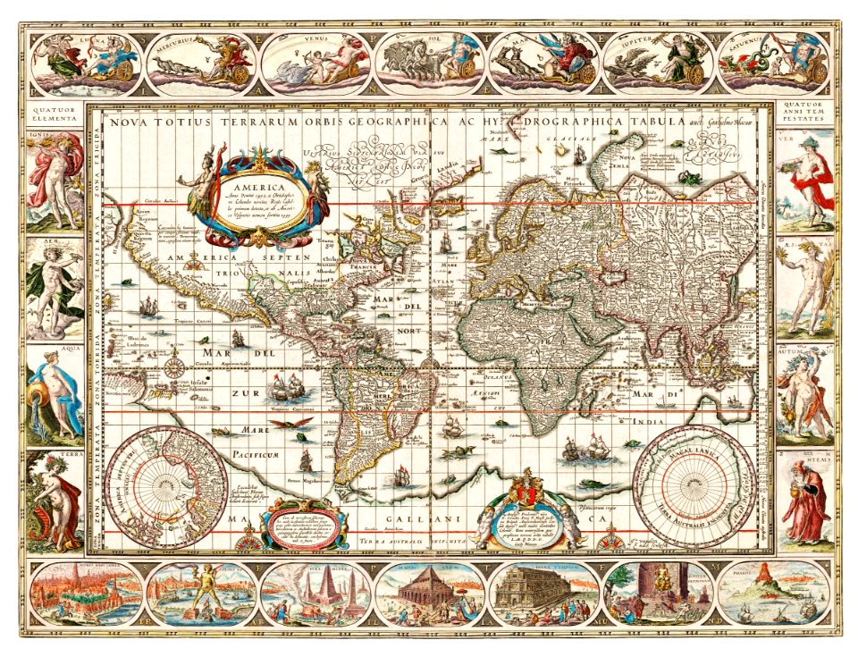
maps made in the 17th century
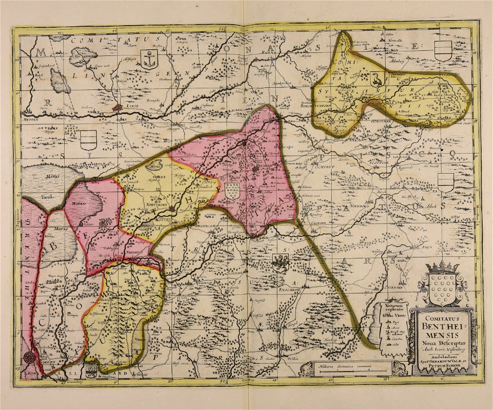
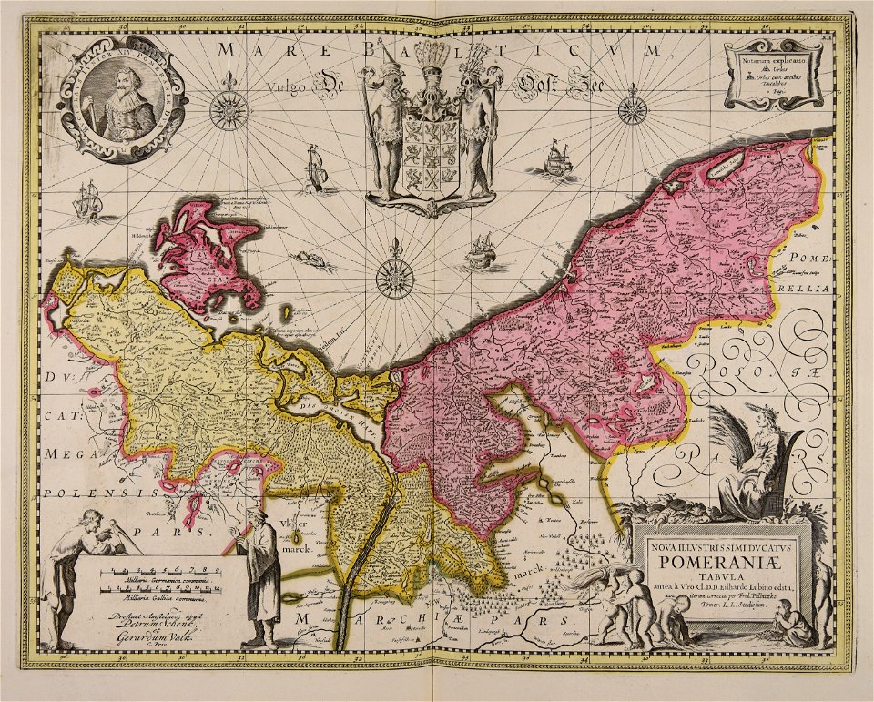
maps by pieter schenk (i)
gerard valck
atlantis magni tomus tertius (biblioteca comunale di trento)
atlas de wit 1698
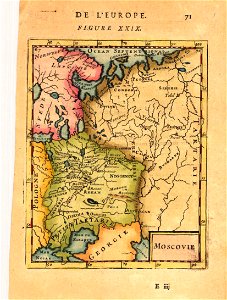
description de l'universe
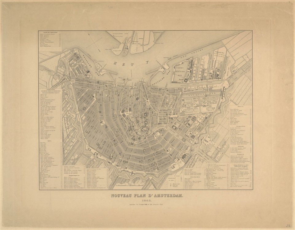
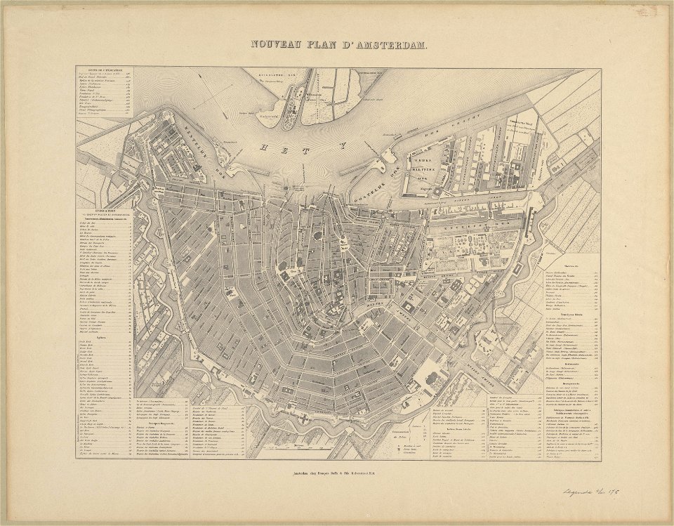
maps in the stadsarchief amsterdam
old maps of amsterdam
published by frans buffa & zonen
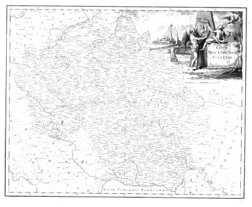
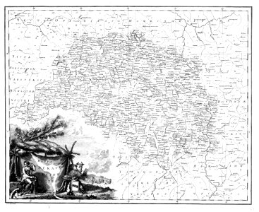
atlas of the russian empire (1792)
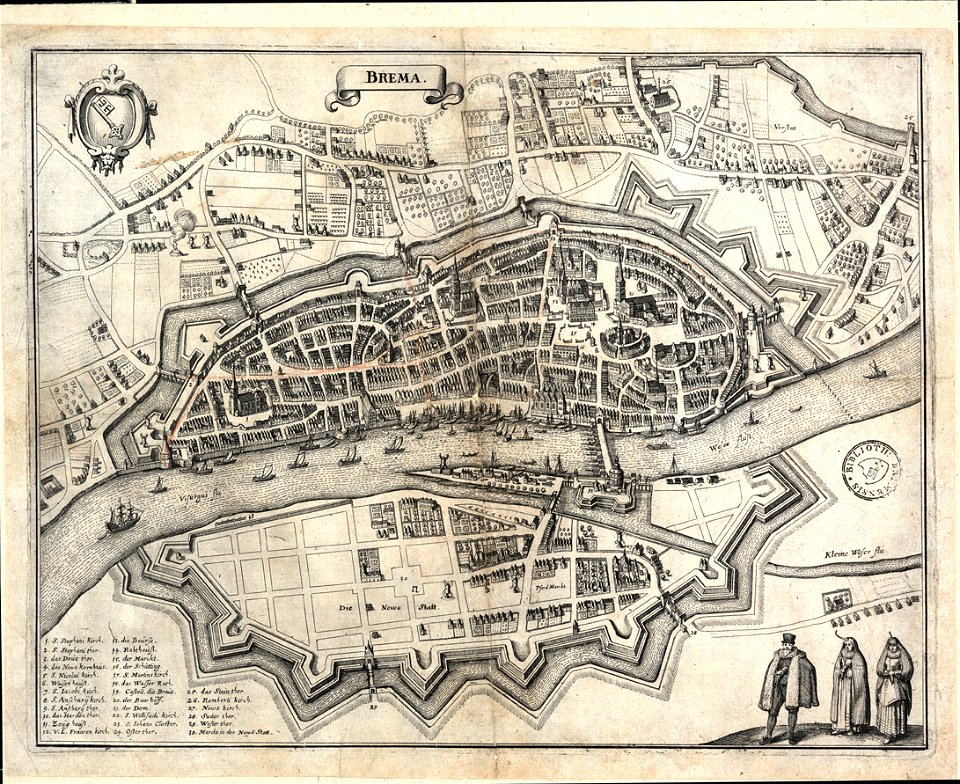
bremen in topographia saxoniae inferioris (merian)
old maps of bremen (state)
david rumsey historical map collection
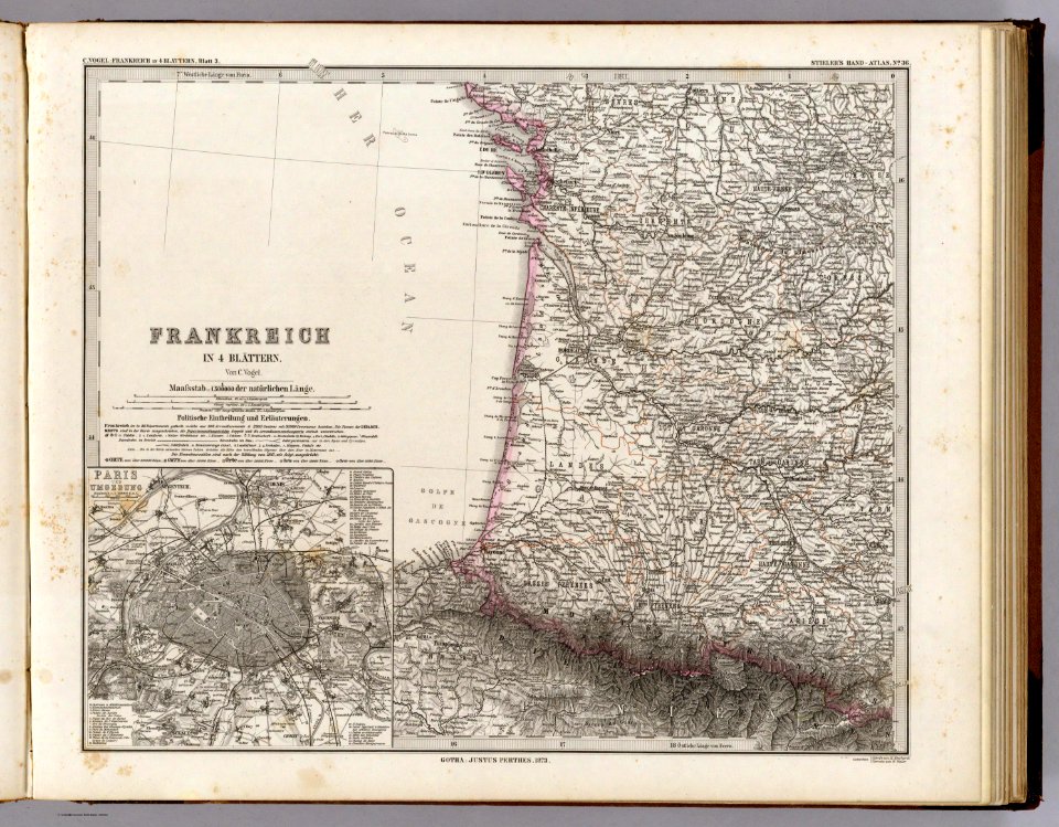
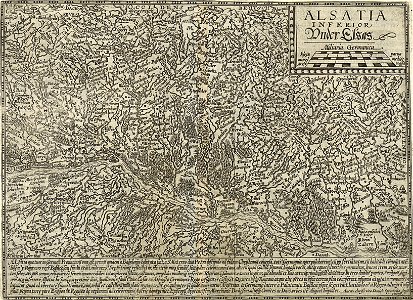
old maps of france
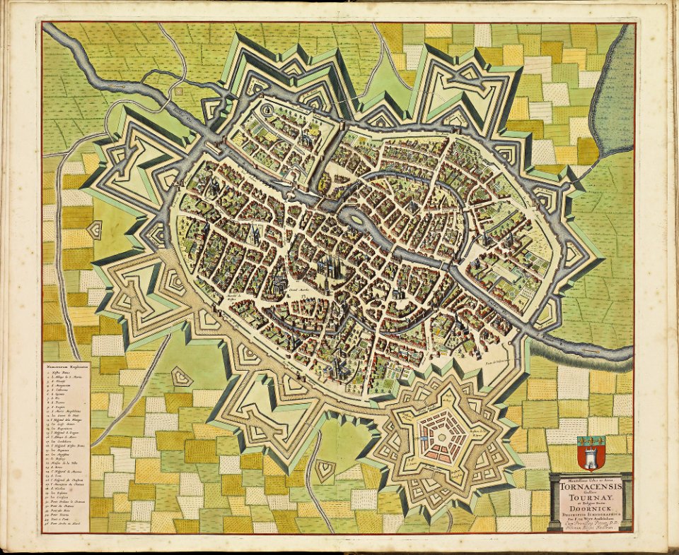
maps of tournai city walls
old maps of tournai
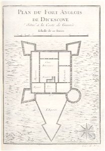
maps of hesdin city walls
old maps of hesdin
maps of douai city walls
atlas de wit 1698
maps of the west-indische compagnie
1746
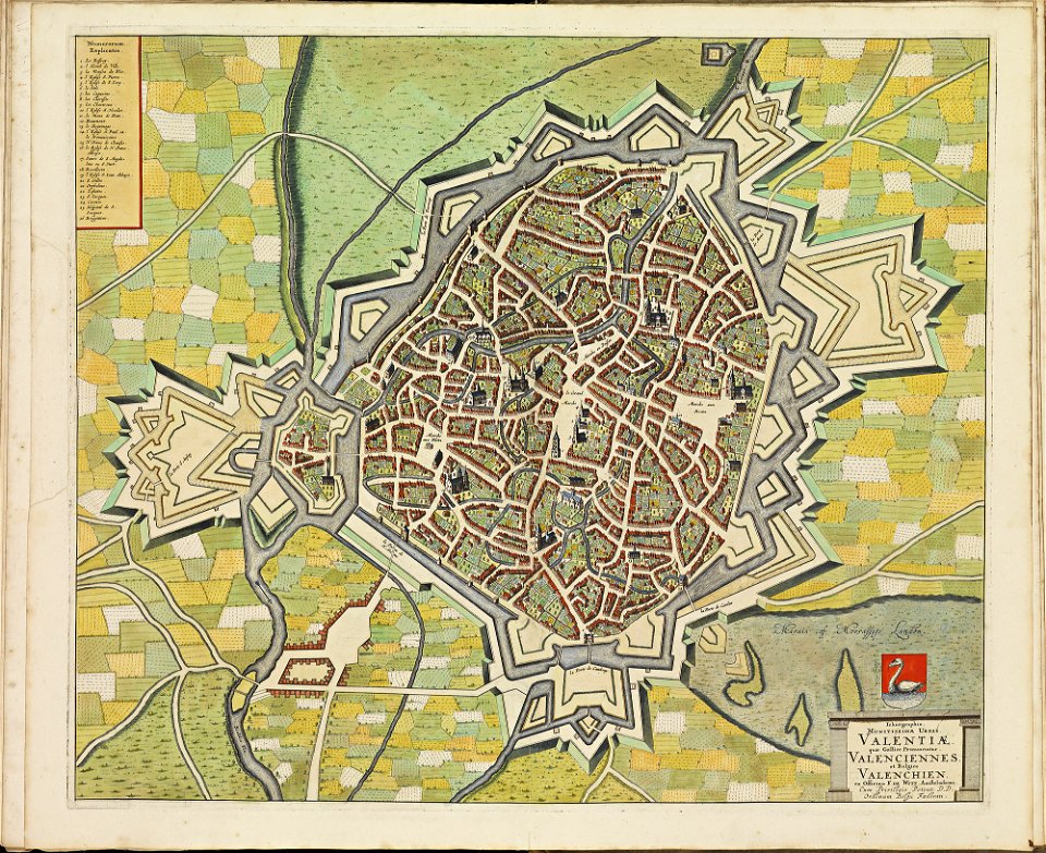
maps of valenciennes city walls
atlas de wit 1698
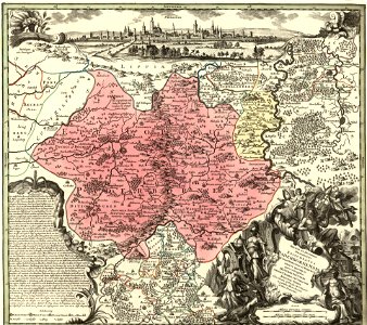
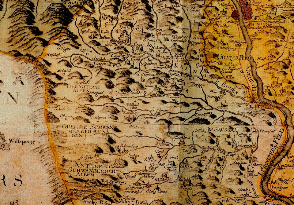
old maps of carinthia
kärntner landesarchiv
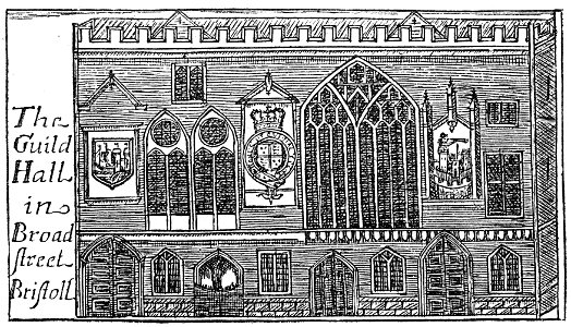
images from bristol past and present (1882)
bristol old city
atlantis magni tomus tertius (biblioteca comunale di trento)
maps made in the 17th century
old maps of lazio
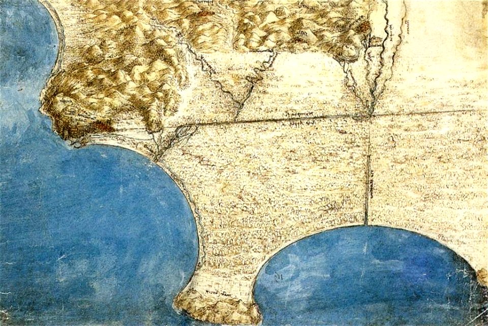
codex windsor
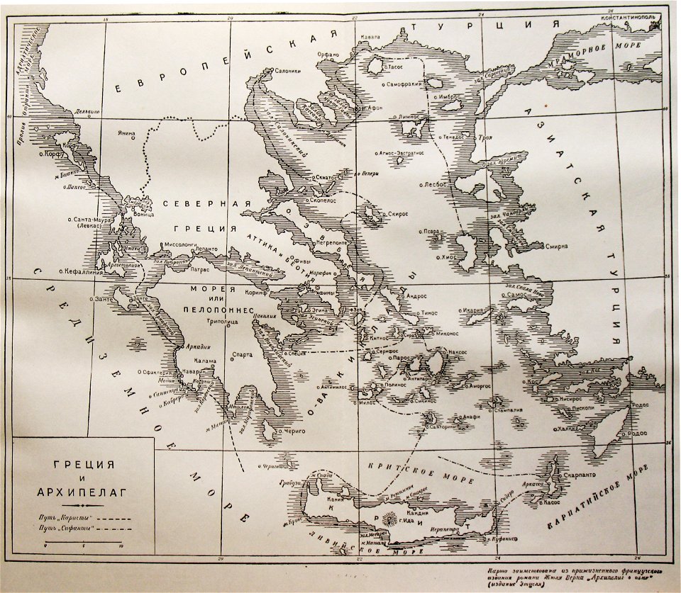
old maps of greece
giovanni camocio
maps by matthäus seutter
tobias conrad lotter
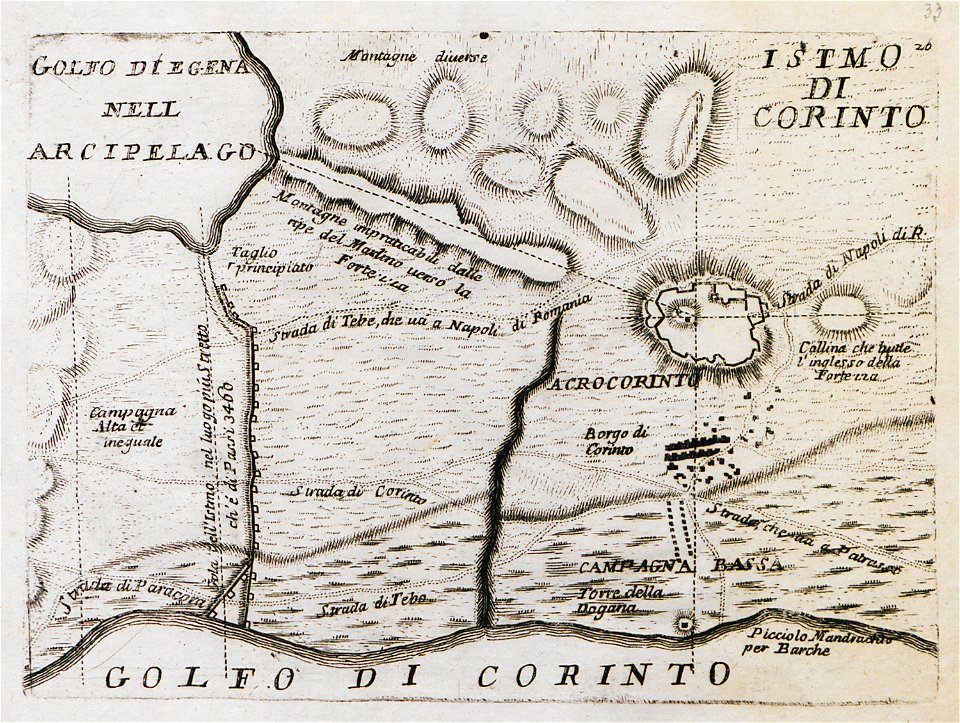
old maps of the peloponnese
maps by coronelli
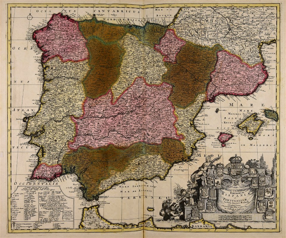
old maps of the iberian peninsula
1700s maps of portugal
old maps of mariahilf
carl graf vasquez
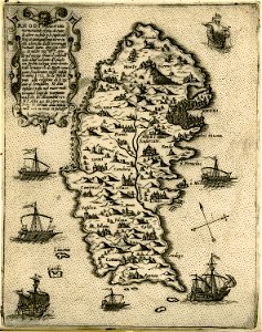
old maps of rhodes
giovanni camocio
tobias conrad lotter
old celestial maps
geographical illustrations by coronelli
old maps of corfu
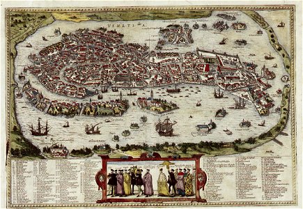
old maps of venice
braun & hogenberg
cosmographia (1600) by sebastian münster
old map
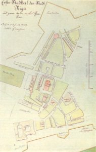
johann christoph brotze
old maps of riga
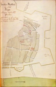
johann christoph brotze
old maps of riga
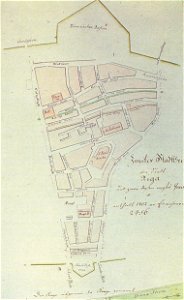
johann christoph brotze
old maps of riga
historical images of cervia
old maps of emilia-romagna
old maps of bremen (state)
bremen in the 1870s
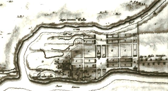
old maps of yekaterinoslav governorate
atlas of the russian empire (1792)
old map
cosmographia (1600) by sebastian münster
old maps of milan
description de l'universe
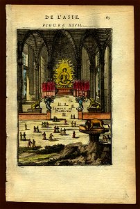
old maps of japan
description de l'universe
old maps of japan
illustration
maps
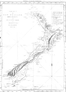
new zealand
geography
engravings of palaio frourio (corfu)
1720 maps
maps made in the 17th century
gerard valck
maps made in the 17th century
gerard valck
fonds ancely - bibliothèque municipale de toulouse - maps
victor levasseur - maps of france
maps made in the 17th century
gerard valck
maps made in the 17th century
gerard valck
maps made in the 17th century
maps by nicolaes visscher i
maps made in the 17th century
gerard valck
maps by willem and johannes blaeu
ravelins
works by georg matthäus vischer
maps made in the 17th century
maps in the stadsarchief amsterdam
old maps of amsterdam
maps in the stadsarchief amsterdam
old maps of amsterdam
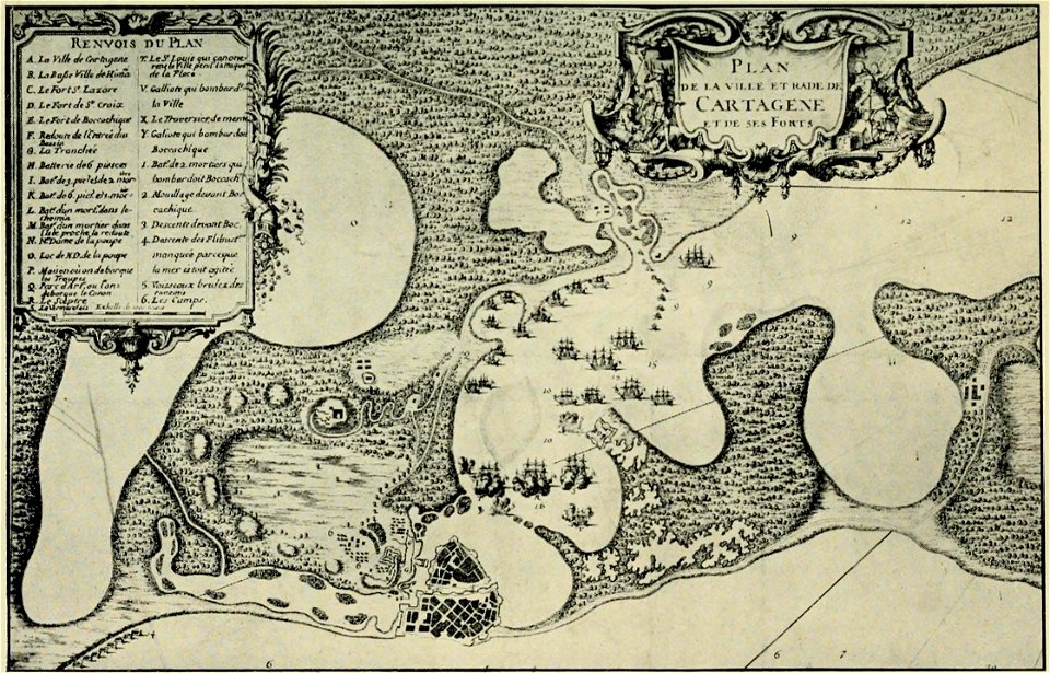
old maps of cartagena
colombia
old maps of venice
johannes ratelband
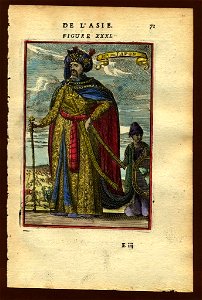
description de l'universe
alain manesson-mallet
description de l'universe
alain manesson-mallet
collections de la bibliothèque nationale et universitaire de strasbourg
matthias quad
bibliothèque municipale de reims
rès. g 152
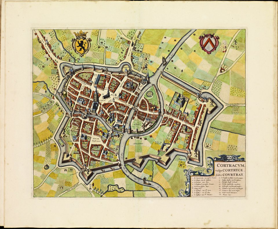
old maps of kortrijk
atlas de wit 1698
maps made in the 17th century
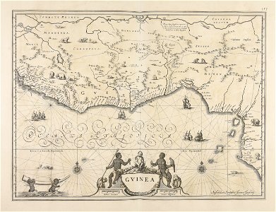
old maps of guinea
media in the houghton library
harvard university
berger collection
old map
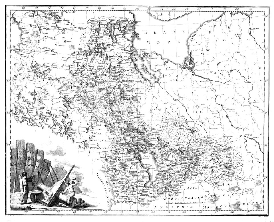
atlas of the russian empire (1792)
old maps of olonets governorate
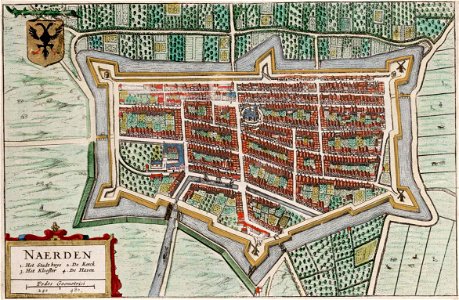
old maps of naarden
atlas van loon
description de l'universe
old maps of japan
description de l'universe
old maps of japan
atlas of the russian empire (1792)
old maps of moscow governorate
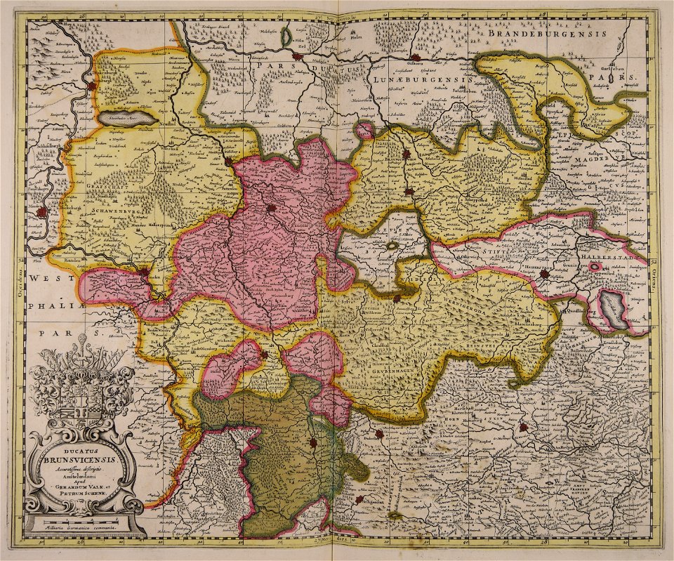
old maps of braunschweig
hutfiltern
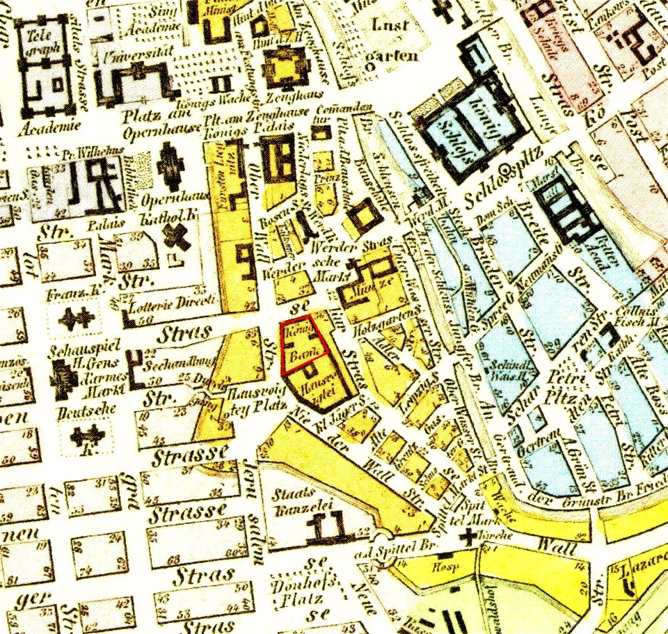
parts of old maps of berlin
königliche hauptbank
old maps of bredevoort
pikemen
parts of old maps of berlin
alte nationalgalerie
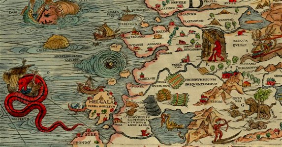
carta marina (details)
sea serpent
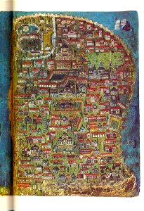
illuminated manuscripts in istanbul university
old maps of istanbul
atlas of the russian empire (1792)
old maps of kursk governorate
old maps of belarus
daugava
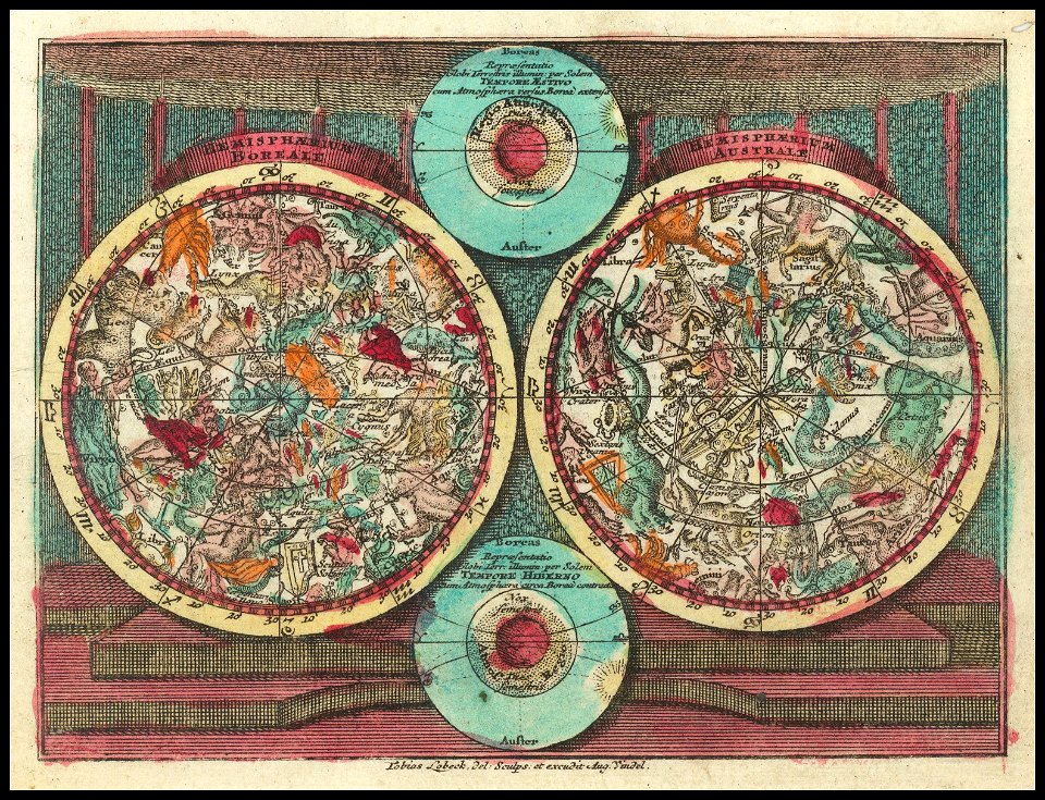
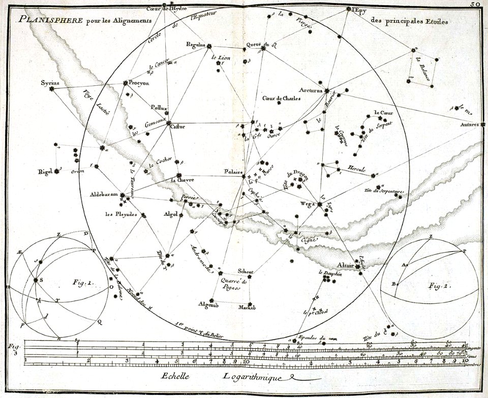
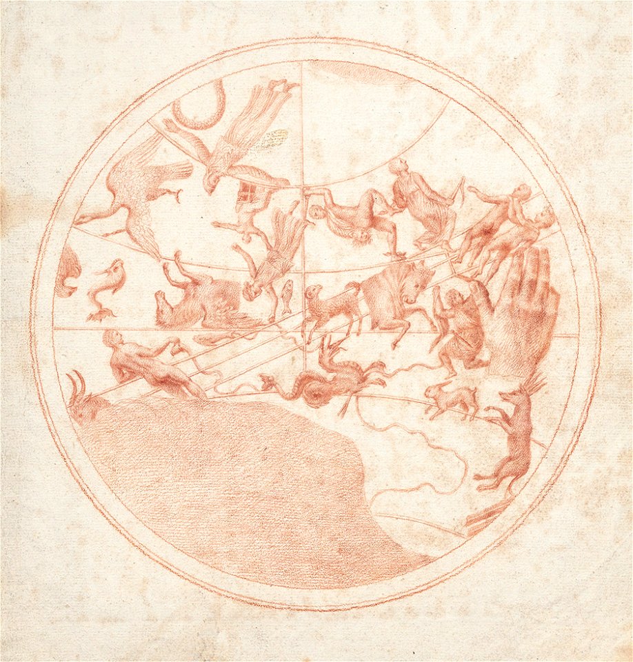
atlas coelestis by john flamsteed
old constellation maps
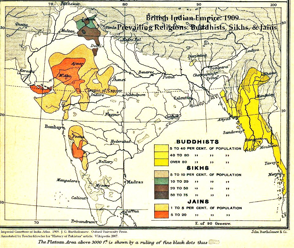
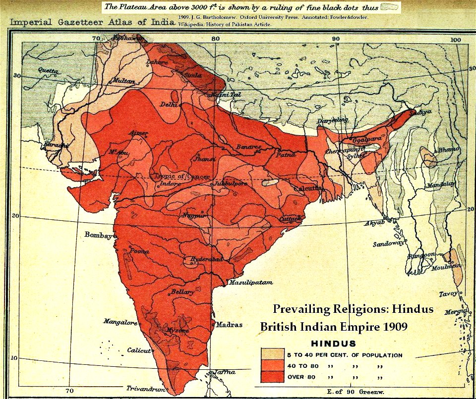
maps of british india
hindus
illustration
maps
maps made in the 17th century
gerard valck
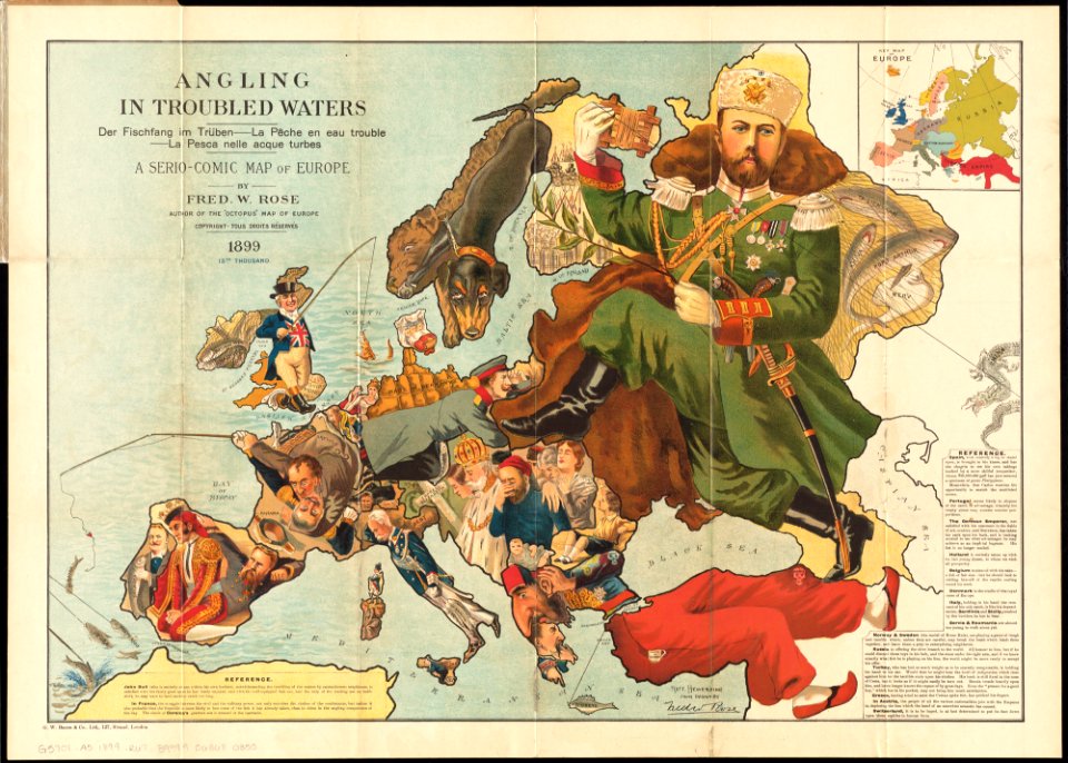
old maps showing history of europe
1899 maps
maps made in the 17th century
gerard valck
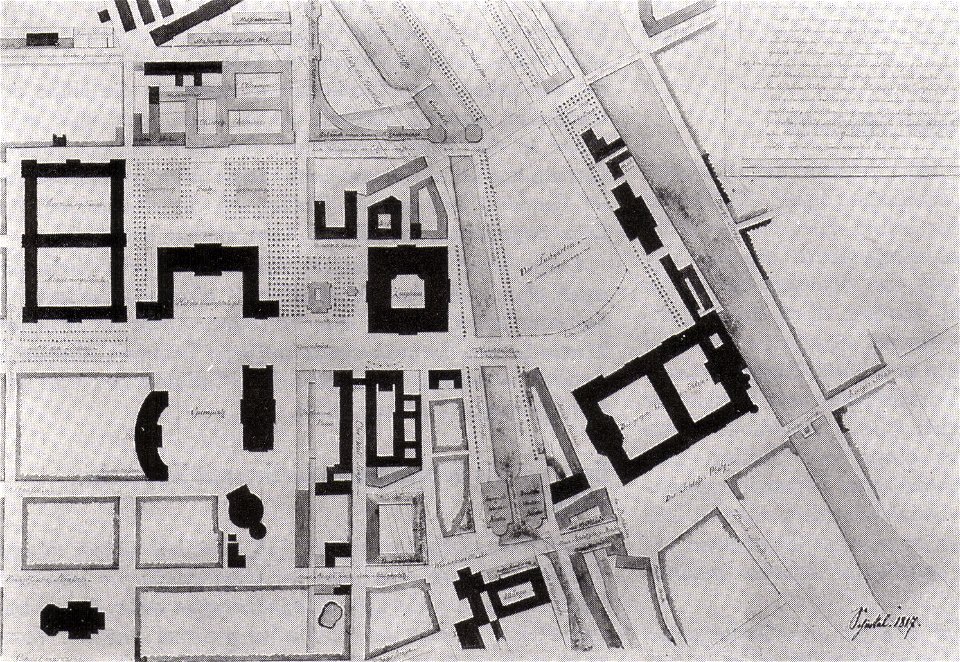
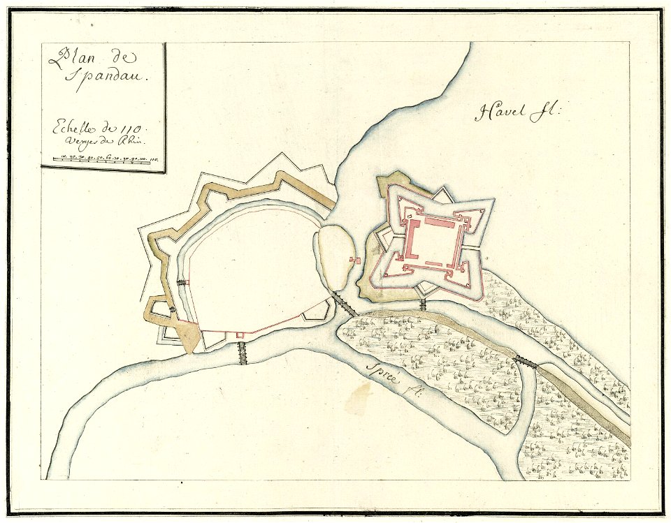
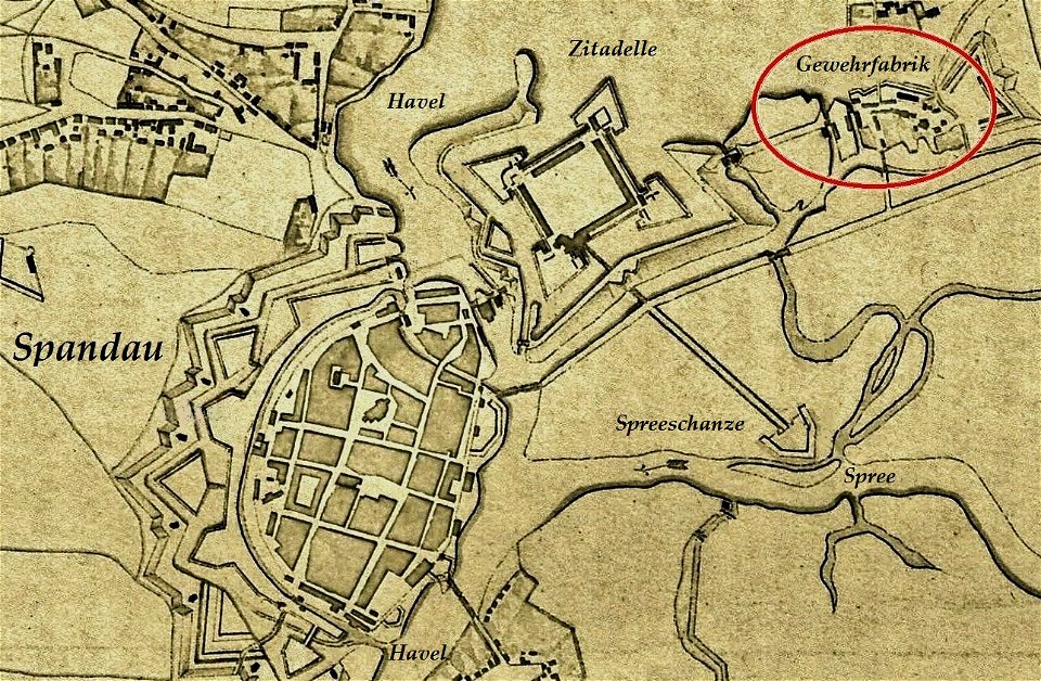
city walls of berlin-spandau
moll's map collection
maps made in the 17th century
gerard valck
maps made in the 17th century
gerard valck
maps in musée de la compagnie des indes
17th-century engravings
maps made in the 17th century
gerard valck
maps made in the 17th century
gerard valck
maps made in the 17th century
gerard valck
old maps of the indian subcontinent
hindus
maps made in the 17th century
old maps of scandinavia
new york city
bowery
maps of veurne city walls
atlas de wit 1698
engravings in the rijksmuseum amsterdam
old maps of venice
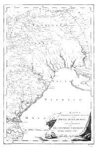
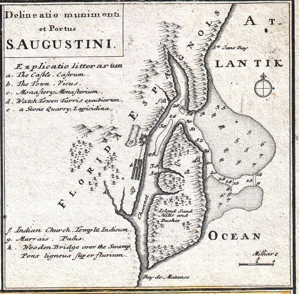
florida
1730s
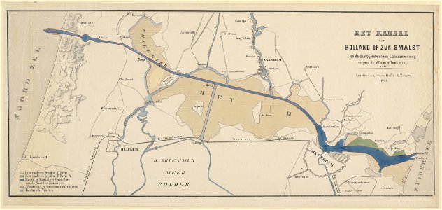
maps in the stadsarchief amsterdam
old maps of amsterdam
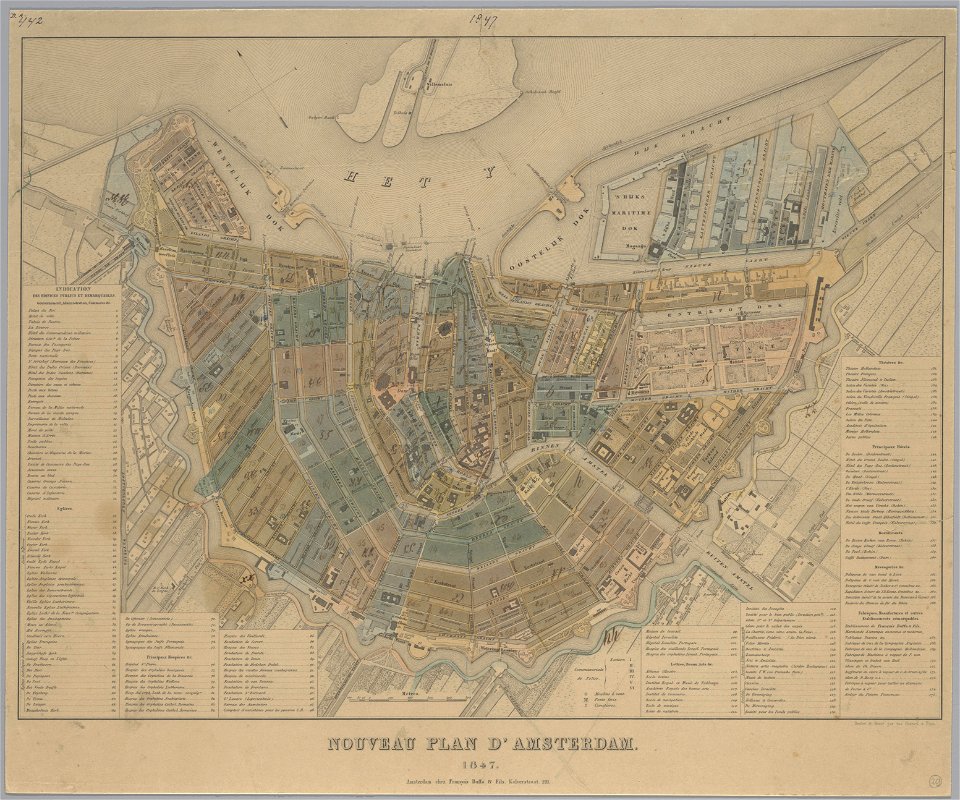
maps in the stadsarchief amsterdam
old maps of amsterdam
maps in the stadsarchief amsterdam
old maps of amsterdam
rennes in the 1880s
1889 maps
historical documents of the spandau citadel
festung spandau
russian-language maps
old maps of greece
atlantis magni tomus tertius (biblioteca comunale di trento)
maps made in the 17th century
georg marggraf
elmina
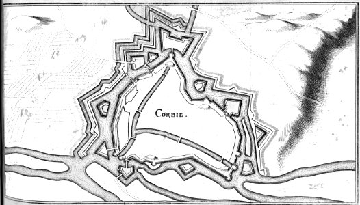
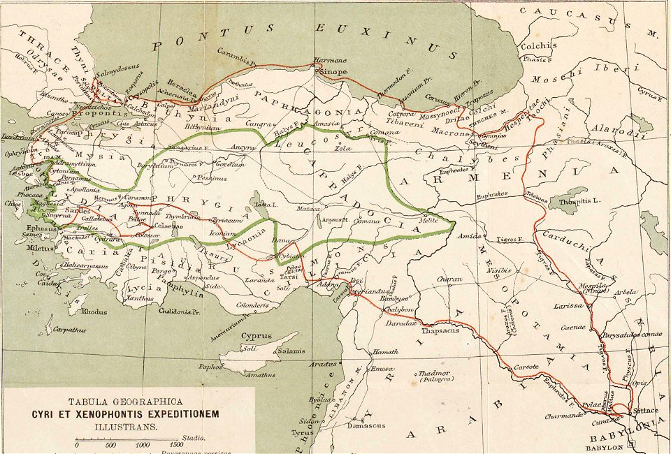
ten thousand campaign
old maps of turkey
old maps of papua new guinea
maps by alexandre vuillemin
atlantis magni tomus tertius (biblioteca comunale di trento)
maps made in the 17th century
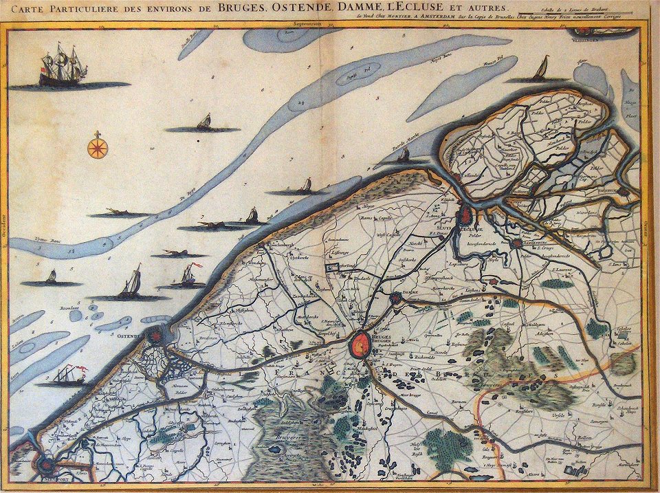
old maps of bruges
covens en mortier
constellations in art
old celestial maps
2801 - 2900 of 11,660
Next page
/ 117